AkanaWiki:Maps of Akana
(Redirected from Maps of Akana)
Jump to navigation
Jump to search
This is intended to be a repository for the various maps of Akana that have appeared from time to time.
Note: Not all these maps are up to date. Please read the comments below each link for the validity of each specific map.
- See also: Category:Maps
- Maps of Akana
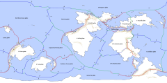
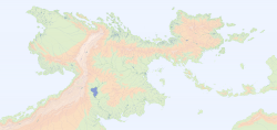
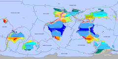
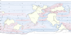
- The most recent version of the Akana World Map, showing plate tectonics and major mountain ranges.
Equirectangular projection.
Map by Cedh.Valid.
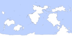
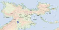
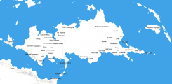
A version without mountains is here. - The first-ever map of Peilaš and surrounding areas, labelled with original Relay participants.
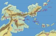
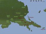
Drawn by Radius; modifications by Zompist (2005).Coastlines are not up to date. - A physical map of Northern Peilaš with labels for cultural regions.
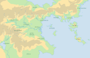
Map by a pocketful of songs, with small modifications by Cedh.Valid except for a few details in the northwest and northeast.
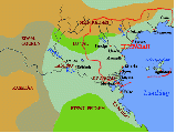
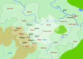
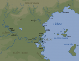
The original version of this map is here. - Map of Huyfárah and the Aiwa valley c. 130 YP. Labels in Fáralo.
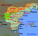
Base map by Radius; borders and names by Zompist.Valid. - Map of the Ndak Empire, c. -1800 YP. Labels in Ndak Ta.
Base map by a pocketful of songs, data by Cedh.Valid.
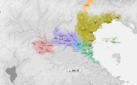
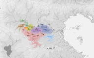
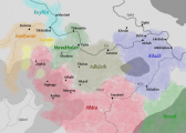
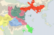
An older version of this map is here. - A linguistic map of the Edastean languages (i.e. direct descendants of Ndak Ta), c. 100 YP. Labels in the local languages.
Base map by a pocketful of songs, data by Cedh.Valid. - A linguistic map of the Dāiadak languages (i.e. direct descendants of Adāta), c. 1200 YP. Labels in the local languages.
Base map by a pocketful of songs, data by Cedh.Valid. - A dialectal map of the Empire of Athalē, showing dialect areas of Adāta c. 800 YP. Labels in Classical Adāta.
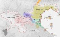
Base map by Radius, data by Cedh.Valid. - Provinces of the Empire of Athalē c. 330 YP.
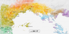
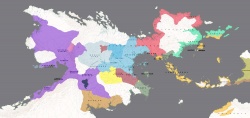
Base map by Radius, provinces and labels by Cedh.Mostly valid, except for some province borders in the south and northwest. - A historical map of the Isthmus region, c. 800 YP. Part of the series History of the Isthmus region.
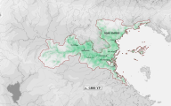
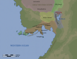
Base map by a pocketful of songs, data by Cedh.Valid. - A map of the former territory of Huyfárah and the surrounding regions in mediaeval times, c. 1000 YP. Labels in Woltu Falla.
Base map by Cedh, labels by thedukeofnuke.Valid. - A map of the Lukpanic coast and the surrounding areas, with ethnolinguistic groups as of c. -500 YP. City names in Proto-Lukpanic.
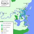
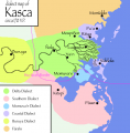
Base map by Cedh, labels by thedukeofnuke.Valid except for a few details. - A linguistic map of southeastern Tuysáfa around 0 YP, showing the distribution of Dumic and T1 languages.
Base map by thedukeofnuke, data by Cedh.Valid.
Other Maps
Maps outside the AkanaWiki
- http://mrpretzel.wikidot.com/local--files/start/ethnolinguistic_xoron_1200.jpg
An ethnolinguistic map of the upper Xoronic area, by a pocketful of songs.Geographically accurate, but the ethnolinguistic info is outdated.
Deprecated world map iterations
- http://img152.imageshack.us/img152/176/ranradiusworldcedh2sp3.jpg {broken link}
An old version of the world map, by a pocketful of songs.Out of date. See Image:Akana-tectonic.jpg for the most recent map.
- http://img165.imageshack.us/img165/6330/ranradiusglobecedh2nortzy8.gif {broken link}
The northern hemisphere. Based on the above; projection by cedh.See comment above.
- http://img165.imageshack.us/img165/2149/ranradiusglobecedh2soutnr4.gif {broken link}
The southern hemisphere. Ditto.See comment above.
