Uploads by Corumayas
Jump to navigation
Jump to search
This special page shows all uploaded files.
| Date | Name | Thumbnail | Size | Description | Versions |
|---|---|---|---|---|---|
| 16:53, 4 February 2021 | Zeluzhia climates orthographic.png (file) |  |
153 KB | Draft of a revised climate map for Zeluzhia | 1 |
| 16:27, 12 January 2021 | Zeluzhian plateau.png (file) |  |
83 KB | approximate location of Zeluzhian plateau? | 1 |
| 13:40, 4 July 2017 | Doroh-suggestion5.png (file) | 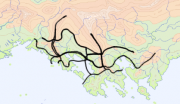 |
104 KB | 1 | |
| 23:48, 3 July 2017 | Doroh-suggestion4.png (file) | 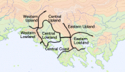 |
108 KB | 1 | |
| 21:44, 3 July 2017 | Doroh-suggestion3.png (file) | 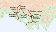 |
107 KB | 1 | |
| 16:50, 3 July 2017 | Doroh-suggestion2.png (file) | 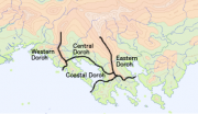 |
102 KB | 1 | |
| 16:49, 3 July 2017 | Doroh-suggestion1.png (file) | 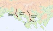 |
99 KB | 1 | |
| 15:05, 24 August 2015 | Tuysafa n america.png (file) |  |
240 KB | A base map of Tuysáfa overlaid with the outline of North America. The scale and latitude of the overlay are the same as the base map. (Base map by Cedh; projection and overlay by Corumayas) | 1 |
| 15:05, 24 August 2015 | Tuysafa europe.png (file) |  |
280 KB | A base map of Tuysáfa overlaid with the outline of Europe and North Africa. The scale and latitude of the overlay are the same as the base map. (Base map by Cedh; projection and overlay by Corumayas) | 1 |
| 15:04, 24 August 2015 | Tuysafa asia.png (file) |  |
264 KB | A base map of Tuysáfa overlaid with the outline of Asia. The scale and latitude of the overlay are the same as the base map. (Base map by Cedh; projection and overlay by Corumayas) | 1 |
| 15:02, 24 August 2015 | Peilash n america.png (file) |  |
253 KB | A blank base map of Peilaš overlaid with the outline of North America. The scale and latitude of the overlay are the same as the base map. (Base map by Cedh; projection and overlay by Corumayas) | 1 |
| 15:01, 24 August 2015 | Peilash europe.png (file) |  |
285 KB | A blank base map of Peilaš overlaid with the outline of Europe and North Africa. The scale and latitude of the overlay are the same as the base map. (Base map by Cedh; projection and overlay by Corumayas) | 1 |
| 14:58, 24 August 2015 | Peilash asia.png (file) |  |
262 KB | A blank base map of Peilaš overlaid with the outline of Asia. The scale and latitude of the overlay are the same as the base map. (Base map by Cedh; projection and overlay by Corumayas) | 1 |
| 13:00, 16 February 2015 | Akana pressure and winds july.png (file) |  |
186 KB | A global map of atmospheric pressure and winds in July. Base map by Cedh, data by a pocketful of songs. Originally posted to the ZBB on 18 May 2010. | 1 |
| 12:58, 16 February 2015 | Akana pressure and winds january.png (file) |  |
215 KB | A global map of atmospheric pressure and winds in January. Base map by Cedh, data by A pocketful of songs. Originally posted to the ZBB on 18 May 2010. | 1 |
| 12:55, 16 February 2015 | Akana ocean currents.png (file) |  |
821 KB | A global map of ocean currents. Base map by Cedh, data by A pocketful of songs. Originally posted to the ZBB on 18 May 2010. | 1 |
| 13:30, 1 October 2009 | Akana climates draft2.png (file) |  |
556 KB | A draft climate map. The color code is the same as on [http://en.wikipedia.org/wiki/File:World_Koppen_Map.png|this map]. | 1 |