Western languages/Expansion
< Western languages(Redirected from User:Cedh/Spread of Western Languages)
Jump to navigation
Jump to search
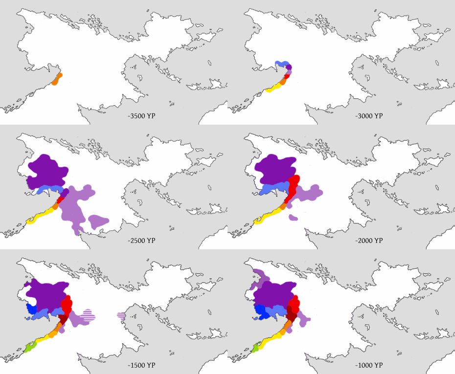
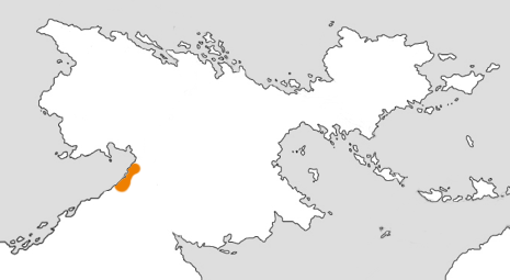
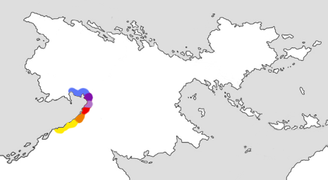
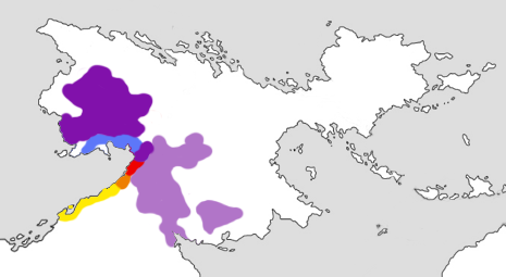
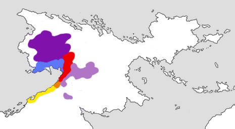
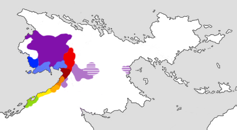
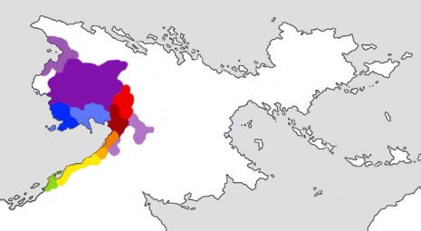
This series of maps attempts to visualize the presumed spread of the Western languages. Each color represents a distinct subdivision of the language family, starting with a map showing the approximate homeland of Proto-Western c. -3500 YP. The subsequent maps follow in an interval of roughly 500 years. The striped areas on the fifth map indicate where Gezoro continued to be spoken as a minority language after the Ndak conquest.
Animated version:
Individual maps:
