File:Tuysafa europe.png
From AkanaWiki
Size of this preview: 800 × 403 pixels. Other resolution: 1,210 × 610 pixels.
Original file (1,210 × 610 pixels, file size: 280 KB, MIME type: image/png)
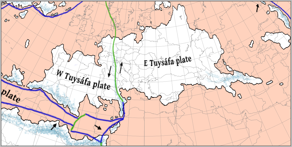
A base map of Tuysáfa overlaid with the outline of Europe and North Africa. The scale and latitude of the overlay are the same as the base map.
(Base map by Cedh; projection and overlay by Corumayas)
File history
Click on a date/time to view the file as it appeared at that time.
| Date/Time | Thumbnail | Dimensions | User | Comment | |
|---|---|---|---|---|---|
| current | 16:05, 24 August 2015 | | 1,210 × 610 (280 KB) | Corumayas (Talk | contribs) | A base map of Tuysáfa overlaid with the outline of Europe and North Africa. The scale and latitude of the overlay are the same as the base map. (Base map by Cedh; projection and overlay by Corumayas) |
- You cannot overwrite this file.
File usage
There are no pages that link to this file.