File:Tuysafa base a east l1.png
From AkanaWiki
No higher resolution available.
Tuysafa_base_a_east_l1.png (510 × 390 pixels, file size: 18 KB, MIME type: image/png)
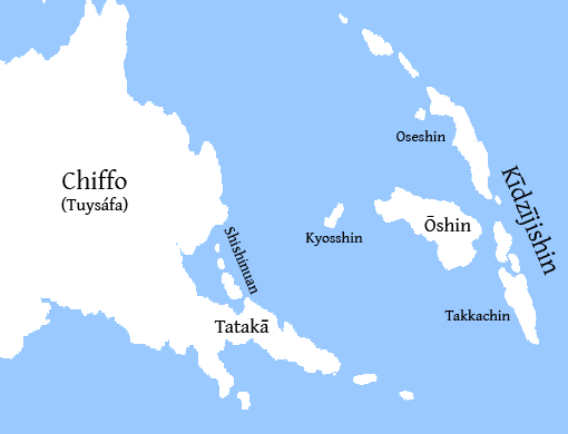
A map of eastern Chiffo (Tuysáfa), showing the islands of Kīdzījishin (Anatolionesia). Labels in Imperial Ōmishiman (c. 2500 YP).
File history
Click on a date/time to view the file as it appeared at that time.
| Date/Time | Thumbnail | Dimensions | User | Comment | |
|---|---|---|---|---|---|
| current | 18:18, 13 November 2009 | | 510 × 390 (18 KB) | Thedukeofnuke (Talk | contribs) | A map of eastern Chiffo (Tuysáfa), showing the islands of Kīdzījishin (Anatolionesia). Labels in Imperial Ōmishiman (c. 2500 YP). |
- You cannot overwrite this file.